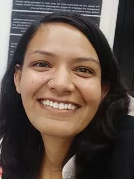
I am a Geomatics Engineer by profession. Having an undergraduate degree in Geomatics Engineering, I have worked in the Survey Department under the Government of Nepal on its various projects related to cadastral surveying, mapping and effective public service delivery using various GIS/Remote Sensing technologies. I completed my Masters degree in Geospatial Technologies through the Erasmus Mundus Joint Master Degree Program. During my thesis, I used Deep Learning techniques to recognize the type of ships in the images captured using UAVs. Lately, I have been exploring the application of machine learning techniques to earth observation. Now, I am excited to orient my research towards atmospheric science. Having joined iMiracli, I will be studying aerosol-cloud interactions using earth observation and machine learning techniques.